Description;
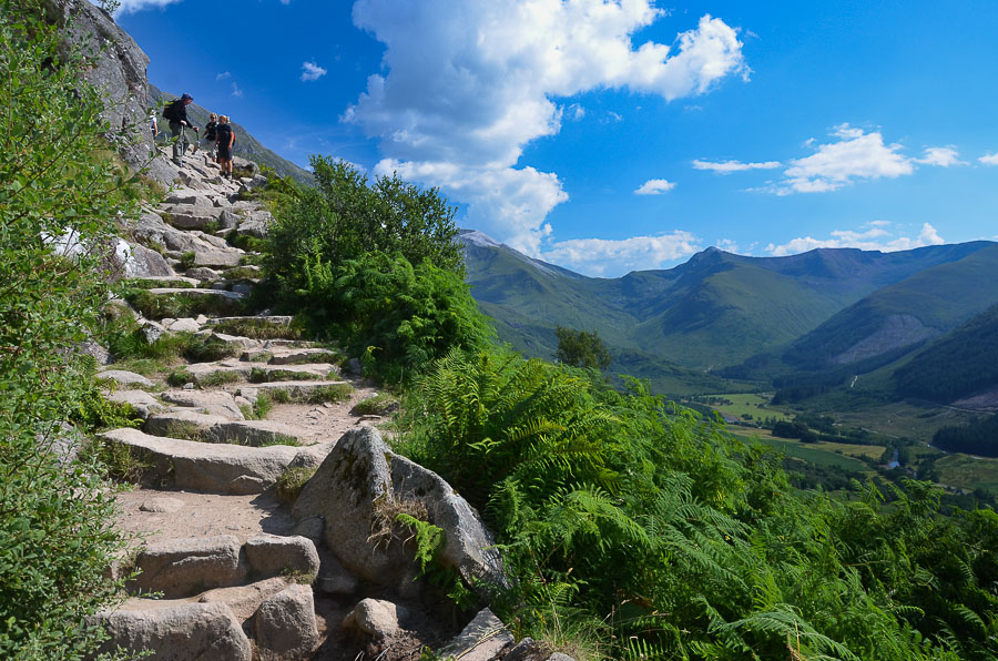
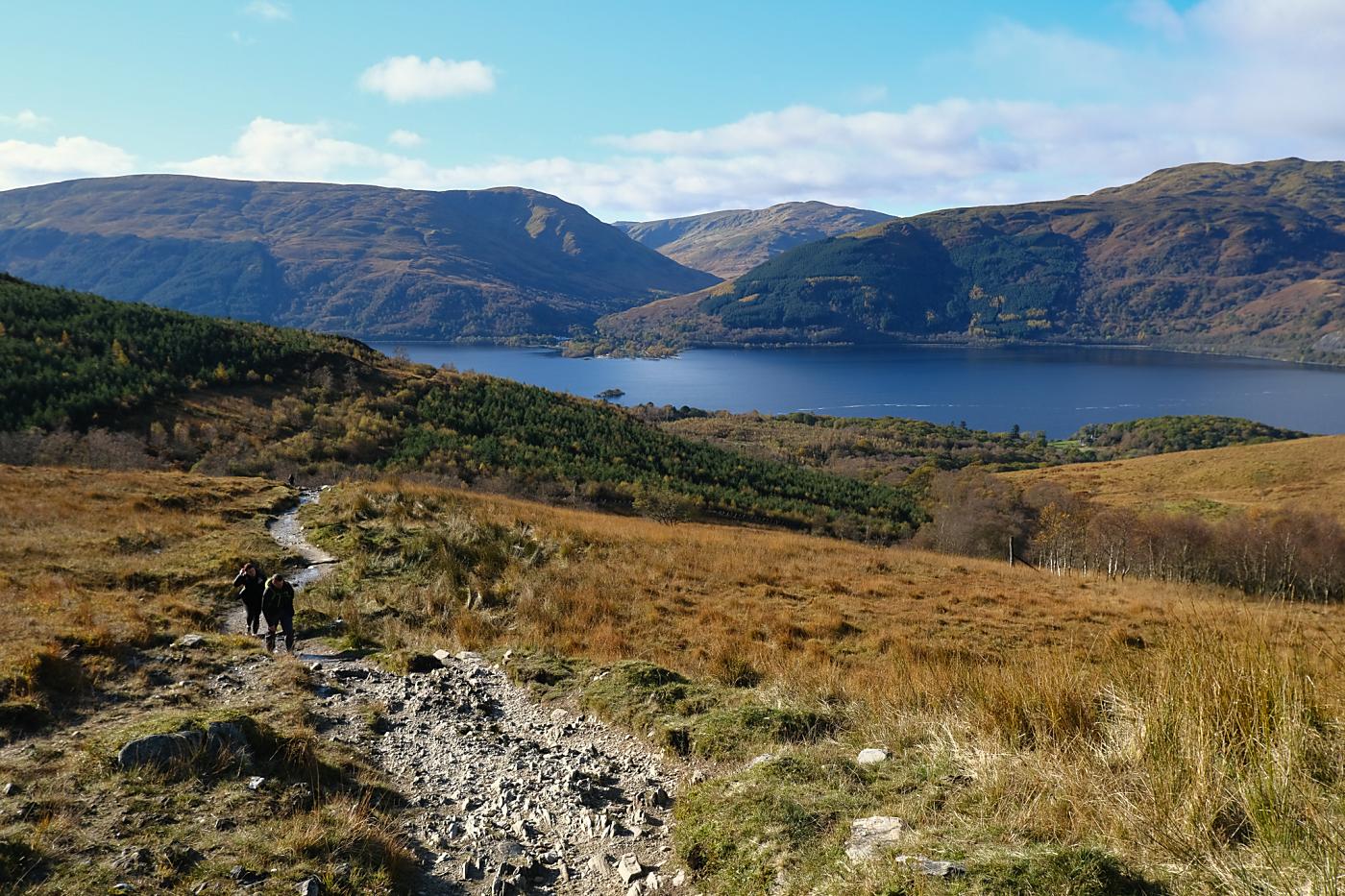
A 10 mile walk up the highest Mountain in the UK. If the weather is clear you will be present with lovely views of the gorgeous Scottish Highlands. This walk is not for an inexperience hikers, when the climbing Ben Nevis the weather can suddenly change. Be sure to read all the signs at the visitor centre for
precautions and equipment needed for the ascent.
Geocaches are available on this walk, there are two geocaches at the summit.
Geocaches are available on this walk, there are two geocaches at the summit.
Distance: 10 miles
Time: 7 hours
Elevation: 1,312 foot

Start Point: Glen Nevis visitor centre car park
End Point: Glen Nevis visitor centre car park
Stage 1
To begin the walk, park at the Visitor Centre in Glen Nevis; there may be a charge. Cross the bridge over the River Nevis, which is downstream from the centre. Once across the bridge, turn right and follow the river bank for a few hundred metres; then turn left over a stile, heading up a path between a wall and a fence.

 The path crosses a couple of footbridges over small streams and
curves round, climbing above the valley of the Red Burn. As the head of
the burn is approached the path takes a very sharp left turn; please
don't use the old path ahead which is eroded and loose. The correct path
winds up much more easily to reach the plateau that holds Loch Meall an
t-Suidhe, known as the half way lochan - which is slightly optimistic.
The walk doesn't approach the actual loch though, keeping well to the
right.
The path crosses a couple of footbridges over small streams and
curves round, climbing above the valley of the Red Burn. As the head of
the burn is approached the path takes a very sharp left turn; please
don't use the old path ahead which is eroded and loose. The correct path
winds up much more easily to reach the plateau that holds Loch Meall an
t-Suidhe, known as the half way lochan - which is slightly optimistic.
The walk doesn't approach the actual loch though, keeping well to the
right.
As the path begins to climb once more, a junction is reached. Turn
right (the path keeping left heads round below the North Face of the
mountain). After another half kilometre the path crosses the cascading
upper Red Burn stream. The path is good at this point, but after a
couple more bends becomes much rougher, a well-worn route through the
boulders and scree, climbing relentlessly in a series of very wide
zigzags - please stick to the path here to avoid worsening erosion.
Stage 5
 The gradient now eases as the beginning of the summit plateau is
reached. The path passes close to the top of Tower gully, and, just
before the summit, the vertigo-inducing top of Gardyloo gully. The
summit of Ben Nevis is the highest mountain in the British Isles. The
summit area has several memorials, a trig point, and many cairns; some
of the memorials have been removed in recent years to prevent the area
looking a mess. There are also the remains of the (meteorological)
observatory which operated here early in the twentieth century.
The gradient now eases as the beginning of the summit plateau is
reached. The path passes close to the top of Tower gully, and, just
before the summit, the vertigo-inducing top of Gardyloo gully. The
summit of Ben Nevis is the highest mountain in the British Isles. The
summit area has several memorials, a trig point, and many cairns; some
of the memorials have been removed in recent years to prevent the area
looking a mess. There are also the remains of the (meteorological)
observatory which operated here early in the twentieth century.
 The view is tremendously extensive and covers much of the Highlands,
but there is nothing more dramatic than peering down the north side,
across or down the massive cliffs; again, do not approach if there is
snow as there could be cornices of overhanging snow which could collapse
if you step on them.. You may spot rock-climbers coming up Tower Ridge
or other classic climbs.
The view is tremendously extensive and covers much of the Highlands,
but there is nothing more dramatic than peering down the north side,
across or down the massive cliffs; again, do not approach if there is
snow as there could be cornices of overhanging snow which could collapse
if you step on them.. You may spot rock-climbers coming up Tower Ridge
or other classic climbs.
Stage 1


To begin the walk, park at the Visitor Centre in Glen Nevis; there may be a charge. Cross the bridge over the River Nevis, which is downstream from the centre. Once across the bridge, turn right and follow the river bank for a few hundred metres; then turn left over a stile, heading up a path between a wall and a fence.

Stage 2
Cross a stile at the top of this and go ahead across a track to meet the original path which started at the Ben Nevis Inn on the left; turn right up the rising path. Follow the wide path which climbs across the hillside. After passing above a small plantation the path from Glen Nevis Youth Hostel joins in from the right (this path leads directly from the Hostel to the main path and gives a shorter route; but there is little car parking at the Youth Hostel). Further on the path doubles back on itself to ascend the steeper, rockier slopes in a wide zigzag. There are grand views up Glen Nevis to the Mamores, with Stob Ban prominent.Stage 3
 The path crosses a couple of footbridges over small streams and
curves round, climbing above the valley of the Red Burn. As the head of
the burn is approached the path takes a very sharp left turn; please
don't use the old path ahead which is eroded and loose. The correct path
winds up much more easily to reach the plateau that holds Loch Meall an
t-Suidhe, known as the half way lochan - which is slightly optimistic.
The walk doesn't approach the actual loch though, keeping well to the
right.
The path crosses a couple of footbridges over small streams and
curves round, climbing above the valley of the Red Burn. As the head of
the burn is approached the path takes a very sharp left turn; please
don't use the old path ahead which is eroded and loose. The correct path
winds up much more easily to reach the plateau that holds Loch Meall an
t-Suidhe, known as the half way lochan - which is slightly optimistic.
The walk doesn't approach the actual loch though, keeping well to the
right.Stage 4


Stage 5

Much higher up, the path passes above the steep screes which fall to the right into the head of Five Finger Gully. This has been the scene of many fatalities in descent, when walkers attempting to avoid the North Face of the mountain steer too wide a course and heading too far south and fall into the gully. In good weather, the views of the Glen far below are superb. The top and Carn Dearg - fringed by great cliffs - comes into view on the left.
Stage 6


Stage 7
 The view is tremendously extensive and covers much of the Highlands,
but there is nothing more dramatic than peering down the north side,
across or down the massive cliffs; again, do not approach if there is
snow as there could be cornices of overhanging snow which could collapse
if you step on them.. You may spot rock-climbers coming up Tower Ridge
or other classic climbs.
The view is tremendously extensive and covers much of the Highlands,
but there is nothing more dramatic than peering down the north side,
across or down the massive cliffs; again, do not approach if there is
snow as there could be cornices of overhanging snow which could collapse
if you step on them.. You may spot rock-climbers coming up Tower Ridge
or other classic climbs.